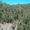
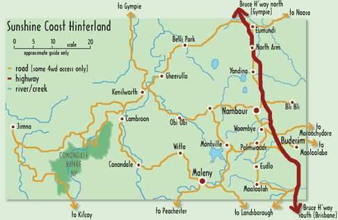
The Conondales? Where's That?
On maps of South East Queensland, there's a major green block that tantalises those with a sense for the natural. It extends from Bellthorpe, just north of Woodford, upward through the hinterland behind the Sunshine Coast to west of Gympie. A large part of this area is the Conondale Range.
The nearest facilities are at Kenilworth, an attractive small hinterland town with a history of dairying and timber-getting.
An excellent historical museum graphically documents this past while a glance down the main street, particularly at weekends suggests substantial changes.
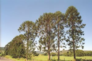
Bunya Pines at the entry to Kenilworth township
The town and it's surrounds provide all the regular services to make your stay comfortable, including post office, newsagent, doctor/chemist, baker, butcher, foodstores and pub. In addition, there are cafes, restaurants, and numerous galleries and craft outlets to explore.
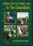
There are many options for accomodation, from rustic camping, to comfortable B&B. More detailed information on the Conondale Ranges and surrounding area, and accounts by respected local historians, is available in 'Walking On The Wilder Side' - the latest publication by the Conondale Range Committee.